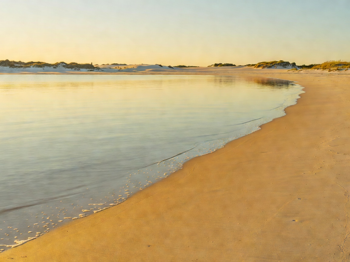
Introduction & Setting
While prominent coastal tourist hubs like Bamburgh and Seahouses attract heavy crowds throughout the spring and summer months, Sugar Sands remains a hidden sanctuary. Situated between Boulmer Haven to the north and Howick to the south, this discreet cove does not appear on major highway signage.
The beach takes its evocative name from the uniquely pale, almost sugar-white quartz grains that distinguish it from the darker volcanic sands found along the nearby Whin Sill outcrops. Sheltered on both sides by low promontories of Carboniferous sandstone, the cove acts as a natural sun trap during calm westerly weather, deflecting inland breezes while maintaining an atmosphere of tranquil remoteness.
Landscape Characteristics & Marine Geology
The shoreline around Longhoughton is shaped by alternating bands of sandstone, shale, and thin limestone seams dating back roughly 330 million years. At Sugar Sands, wave action has carved gentle ledges and tidal pools into these flat horizontal strata. During low water, extensive reef systems emerge, harboring rich colonies of bladder wrack, sea anemones, shore crabs, and small blennies.
To the rear of the sands, low clay banks and grass dunes form a barrier against inland agricultural pasture. Because there is no direct road frontage, the natural barrier dunes remain undisturbed by vehicular traffic, allowing dune grasses and wildflowers such as sea campion and thrift to flourish without degradation.
Tidal Navigation Alert
Sugar Sands can shrink dramatically during high astronomical springs. While there is always a narrow strip of upper shale bank accessible above the high water mark, the golden sand expanses are entirely submerged for roughly 2.5 hours on either side of peak tide. Visitors are strongly advised to plan their arrival during a falling tide.
Walking Routes & Access Profiles
Reaching Sugar Sands requires a dedicated walk, which serves as a natural filter preserving its peace. Two primary access trajectories exist for day visitors:
- From Longhoughton Village via Low Stead Farm: Follow the minor road leading east from Longhoughton towards the coast. At Low Stead Farm, visitors must respect designated farm track parking areas where modest honesty box parking contributions are collected. From the farmyard gate, a scenic 0.8-mile grass path leads gently downhill through sheep fields straight to the mouth of the bay.
- The Coastal Path via Boulmer: For those on longer coastal walking routes, Sugar Sands is positioned along the official Northumberland Coast Path. Walking south from Boulmer village takes approximately 25 minutes (1.2 miles) along coastal meadows with views out towards passing cargo vessels and lobster cobles.
Pros and Cons: What to Expect
A trip to Sugar Sands is ideal for self-sufficient nature lovers, photographers, and those seeking respite from commercial boardwalks. However, the lack of modern infrastructure means careful advance preparation is essential.
| Aspect | Advantages | Considerations & Trade-offs |
|---|---|---|
| Seclusion | Rarely crowded even in mid-July; peaceful ambient sounds. | Requires 20–30 minutes walking on grass or uneven ground. |
| Facilities | Unspoiled wilderness with zero commercial development. | No toilets, no drinking water fountains, no waste bins. |
| Swimming & Watersports | Sheltered water entry during calm weather; gradual gradient. | No lifeguard patrols; cold North Sea temperatures require wetsuits. |
| Wildlife Viewing | Common seals frequently spotted offshore; shorebirds feed along tide line. | Dogs must be kept under strict close control due to nesting birds. |
Essential Field Advice
Carry all personal provisions, including plenty of fresh water and windproof layers. Sudden sea mists (locally known as "haars") can roll in from the North Sea within minutes, dropping temperatures significantly even in the height of summer. Ensure all personal rubbish is carried back to designated municipal recycling points in Longhoughton or Alnwick.