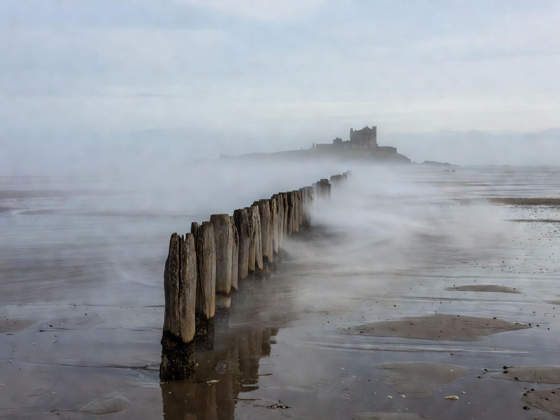
The Historical Footpath of St Aidan & St Cuthbert
Long before the modern paved vehicle causeway was constructed in 1954, access to Lindisfarne Holy Island was accomplished strictly on foot or horse-drawn carriage during low water. Known today as the Pilgrim's Way, this historic traverse leaves the mainland at the causeway corner and steers east-southeast across the intertidal muds towards Chare Ends.
The route has been trodden since at least 635 AD, when King Oswald granted Lindisfarne to St Aidan to establish his monastic see. In medieval centuries, thousands of pilgrims crossed these sands bare-foot as an act of penance and devotion to reach the shrine of St Cuthbert, braving brisk gales, deep tidal guts, and rapidly rising saltwater.
Tidal Mechanics & Survival Realities
The crossing of Holy Island Sands is governed by a semidiurnal tidal cycle. Two high tides and two low tides occur roughly every 24 hours and 50 minutes. The speed of the advancing water across the flat sands can surprise unprepared walkers; incoming water fills the Low and river gutters before flooding the surrounding sand flats, cutting off escape routes from behind.
Two elevated wooden refuge boxes on stilts stand along the vehicle causeway to shelter motorists who misjudge the safe crossing times. However, the Pilgrim's Way pedestrian route diverges significantly south of the paved causeway. If walkers are caught by the tide on the mudflats, reaching a refuge box requires fighting deep water channels with powerful cross-currents.
Mandatory Rule of Timing
Never begin the walking crossing on a rising tide. The optimal time to step onto the sand from the mainland is roughly 2 to 2.5 hours after high tide, as the water is actively receding. This provides a generous 4-hour window of falling and slack water to complete the 3-mile walk safely.
Footwear, Terrain & Physical Demands
A common dilemma for first-time walkers on the Pilgrim's Way is footwear selection. The terrain varies from firm rippled sand to knee-deep black mud and standing brine channels:
- Barefoot Crossing: The traditional pilgrim choice during summer months (June to September). It avoids waterlogged boots and heavy suction, but walkers must watch for sharp cockle shells and cold numbness in colder months.
- Neoprene Booties or Water Shoes: Excellent balance of grip, puncture protection against sharp shells, and drainage.
- Hiking Boots / Wellies: Not recommended. Deep silt near the mainland and Lindisfarne shores frequently suctions wellies straight off walkers' feet, while standard hiking leather becomes saturated and heavy.
The Unique Atmosphere of Lindisfarne National Nature Reserve
The mudflats surrounding the trail form part of the Lindisfarne National Nature Reserve, one of the most vital wintering grounds for wildfowl in Western Europe. Over 50,000 birds gather here each winter, including pale-bellied brent geese flying from Svalbard, wigeon, bar-tailed godwits, and whooper swans.
Walking out into the middle of the sands produces a sensation of profound spatial disorientation. With 360-degree views of sea, saltmarsh, and the distant silhouette of Lindisfarne Castle atop its volcanic crag, the boundary between sky and water frequently dissolves in coastal mist.
| Trail Factor | Specification | Field Recommendation |
|---|---|---|
| Distance | 3.1 miles (5.0 km) | Allow 1.5 to 2 hours of walking time at moderate pace. |
| Waymarking | Vertical timber telegraph-style poles | Keep the pole line within clear sight; never deviate in fog. |
| River Crossing | The Swinglet & Low streams | Expect calf- to knee-deep wading even at lowest tide. |
| Return Journey | Bus, taxi, or return walk on next low tide | Plan accommodation on the island or pre-book coastal taxi. |